AlwaysPCN
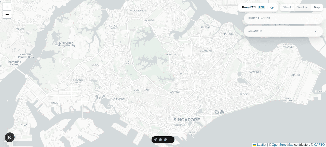
A specialized route planning application that prioritizes Singapore's Park Connector Network (PCN) for cyclists, runners, and outdoor enthusiasts. Unlike generic navigation apps, AlwaysPCN maximizes time spent on scenic, low-traffic green corridors.
Tech Stack
The Problem
Standard route planners like Google Maps optimize for travel speed, frequently directing cyclists and pedestrians through busy roads and traffic-heavy areas. Singapore's extensive PCN offers safe, beautiful alternatives, but these routes are consistently deprioritized by generic navigation tools.
- Generic routing deprioritizes park connectors
- Cyclists directed through busy arterial roads
- PCN infrastructure underutilized in navigation
The Solution
AlwaysPCN puts park connectors first. Our weighted routing algorithm preferentially selects PCN segments, computing routes that maximize green corridor usage while still connecting your start and end points efficiently.
Key Features
Built with modern web technologies for performance and accessibility.
- Park-Connector-Preferred Routing - Weighted algorithm prioritizes PCN segments
- Visual Network Context - Color-coded road and connector overlays
- Flexible Location Input - Place name geocoding or direct coordinates
- Route Metrics - Distance and connector percentage tracking
- Multiple Map Styles - Street, satellite, and dark mode views
Platform Screenshots
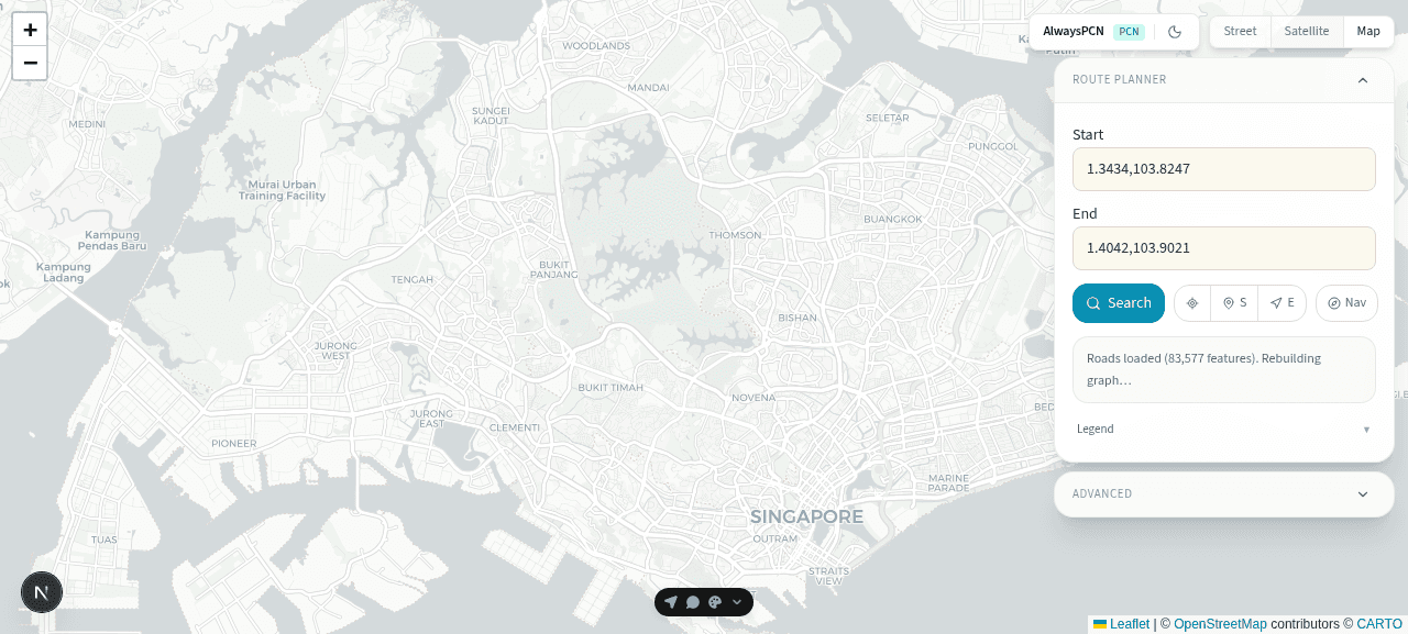
Route Planner Expanded
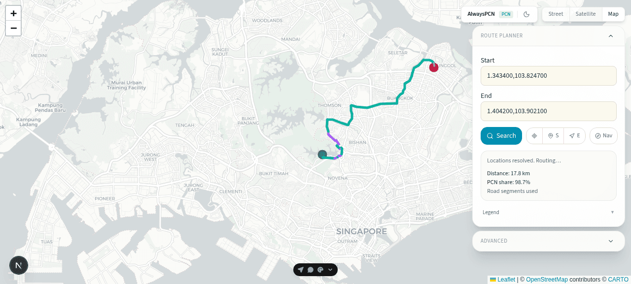
Route Computed
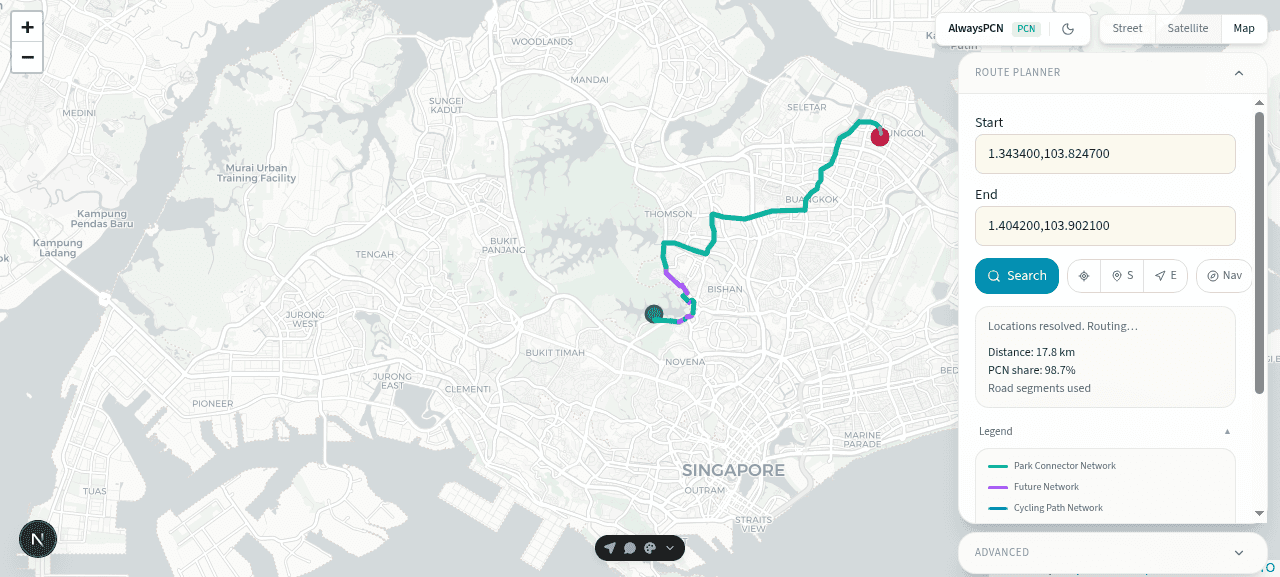
Legend Expanded
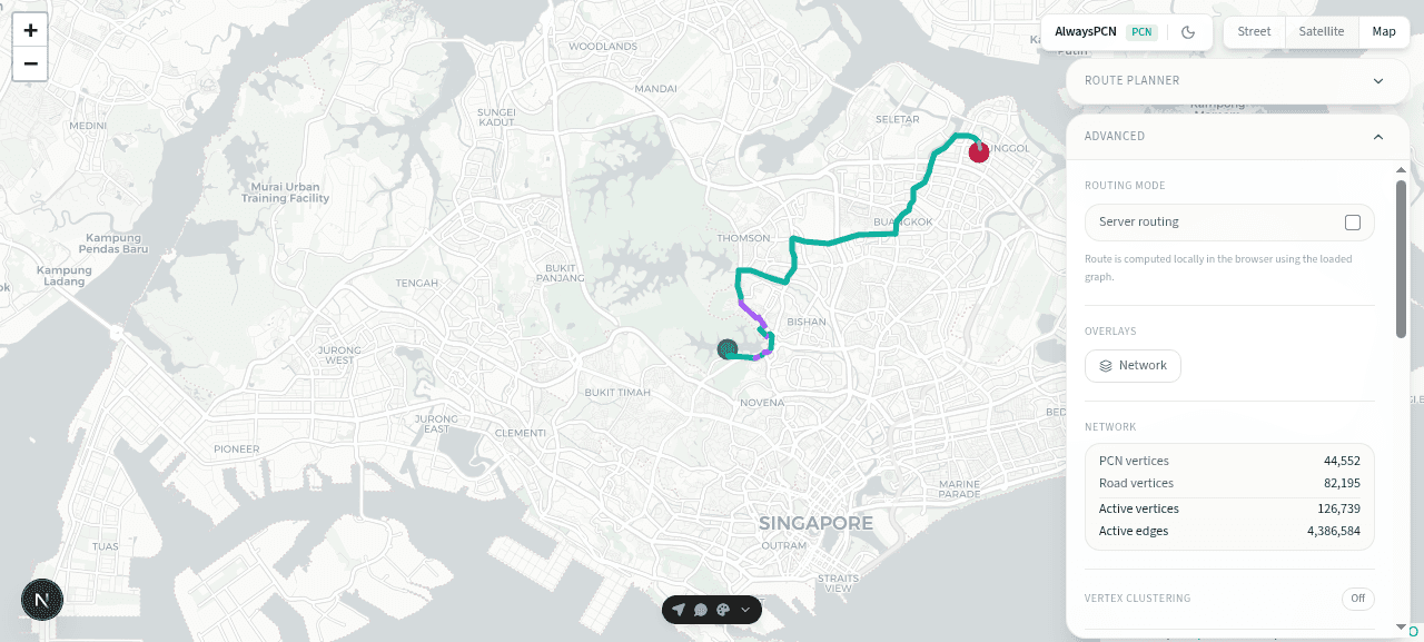
Advanced Settings
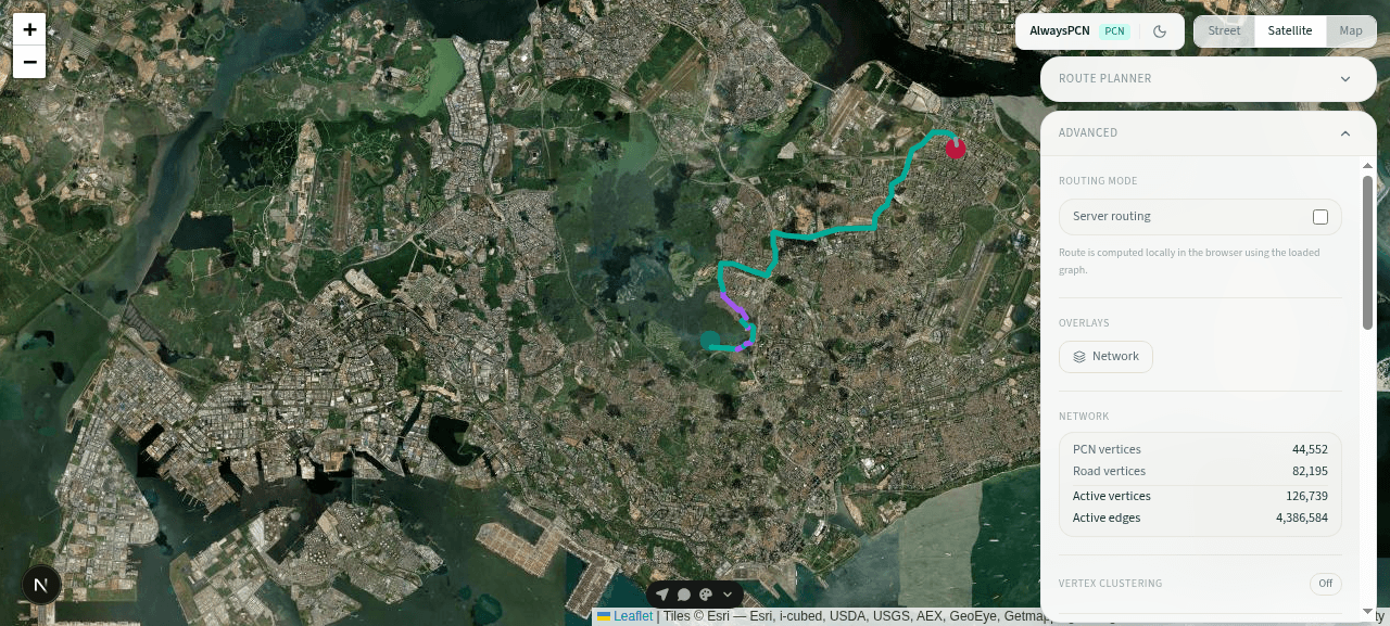
Satellite View
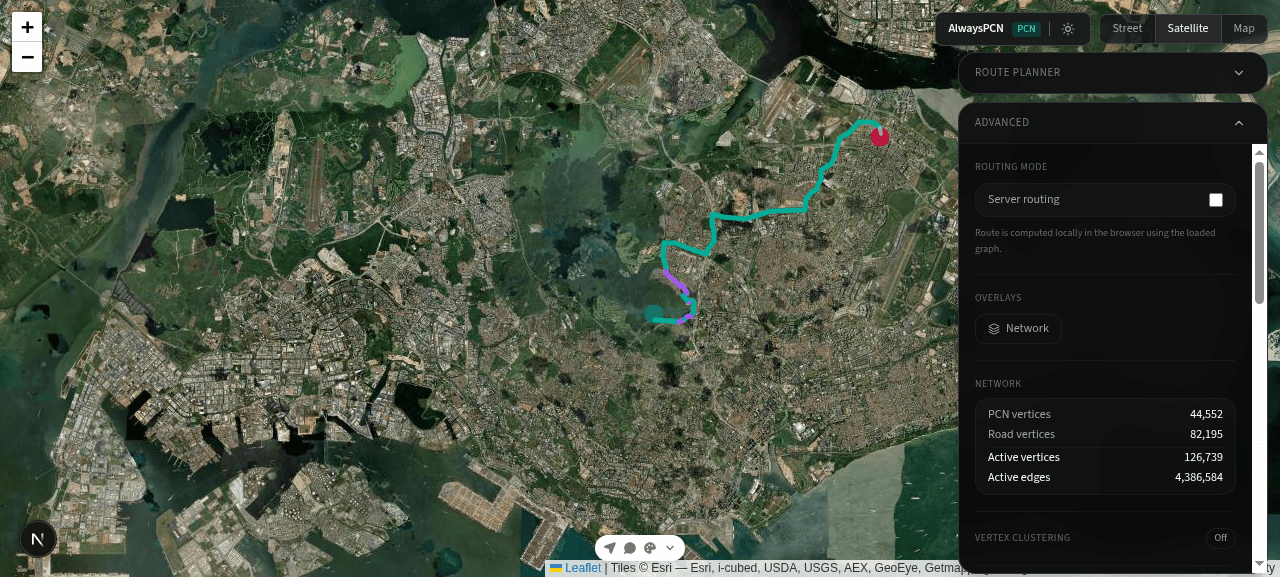
Dark Mode
Want to Build Something Similar?
Let's discuss how we can help bring your project to life with our expertise in SaaS development.
Get in Touch